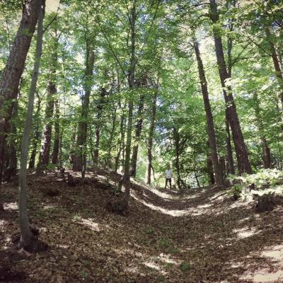
Two fortified sites were known in the vicinity of Teliu (Kreuzburg/Nyén/Keresztvár), Brașov county, since the 19th c. They were reported as located in close proximity one to another (200 m), at the foothills of Buzău Mountains now covered in evergreen forests.
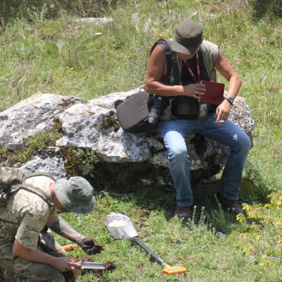
Following a series of works related to the building of a railway route along Teliu valley, during the interwar period, a stone quarry was opened right on top of Cetatea Mică (II), leading in time to its disappearance. Despite a long-time interest in the sites, including a series of excavations made during the 1960s and 1970s in Cetatea Mare (I) (by A. D. Alexandrescu & I. Pop), their full chronological attribution and function remained partially disputed. A notorious connection with the Teuton early 13th c. fort of Cruceburg has been often explored in relation with these sites.The current research was based on a review of previously known data in the light of more recent investigations undertaken in 2019, in the area of the two fortified sites, 45 years after their last systematic exploration. The work is based on the general interest of the authors in advancing the knowledge regarding the uncertain dating of numerous fortified places of south-eastern Transylvania characterized by repeated occupation and scarce archaeological deposits.
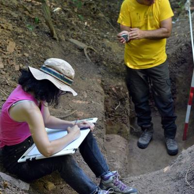
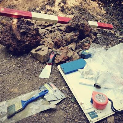
A LiDAR based survey combined with a geophysical investigation (magnetic method) in Cetatea Mare allowed a better reconstruction of this site’s plan and layout of fortifications, revealing a more complex design in which the fortification ditches were continued with terraces on the two main site’s slopes. An additional ditch, unknown before, was identified in the northern site sector. In total, the area affected by anthropic works in Cetatea Mare can be recognized now on a 2 ha surface, while the number of enclosure lines reached 5. By reopening a small part of an old trench (S XIII) we succeeded to establish correlations with the already published stratigraphic profiles and collect samples for dating with radiocarbon. The results of these analyses combined with a critical review of the older data show that the site was repeatedly visited along the Bronze and Iron Ages for certain activities which did not left consistent traces. At least two major moments in which the site was affected by large scale levelling associated to enclosure rebuilding could be noticed, once dated in Hallstatt C-D (which could have relocated previous Schneckenberg and Wietenberg materials) and the other in the late 1st C. BC - early 1st c. AD. We date the large relief modifications affecting the entire site, based on radiocarbon and stratigraphy, in the Augustan period, even if the main analogies for the building model are to be found in older sites in Transylvania, belonging to Hallstatt B2-C. A distinctive characteristic of the last fortification phase in Teliu Cetatea Mare was the reuse as secondary material incorporated in the core of the ramparts of a previously burnt structure of soil, stone and wood, perhaps a palisade. A radiocarbon dated sample may suggest a time in the 4th-3rd c. BC for this structure, but until additional analyses it remains just a hypothetical framing. A date anywhere between Hallstatt C and early 1st c. AD is still possible.
The LIDAR data analysis and viewsheds have also disclosed the relations of the two fortified sites with the network of local ridge routes. In this regard, both sites are more relevant for a connection with Brașov Depression and the beginning of a road linking the area of Prejmer with the inner-mountain depression of Întorsura Buzăului. This road, through Pilișca peak, was still in use in the 19th c. before the opening of the main railway traffic through Teliu Valley, by inhabitants of Prejmer area going to their mountain pastures. In the same time it appears that the two sites were related in different ways to this road (suggesting a difference in both chronology and function): Cetatea Mică was placed in a hidden position directly on a secondary pathway climbing to the main ridge route, while Cetatea Mare was adjacent to this road, occupying a dominant position for the entire Depression.
Researches by Magdalena Ștefan, Dan Ștefan and Dan buzea


